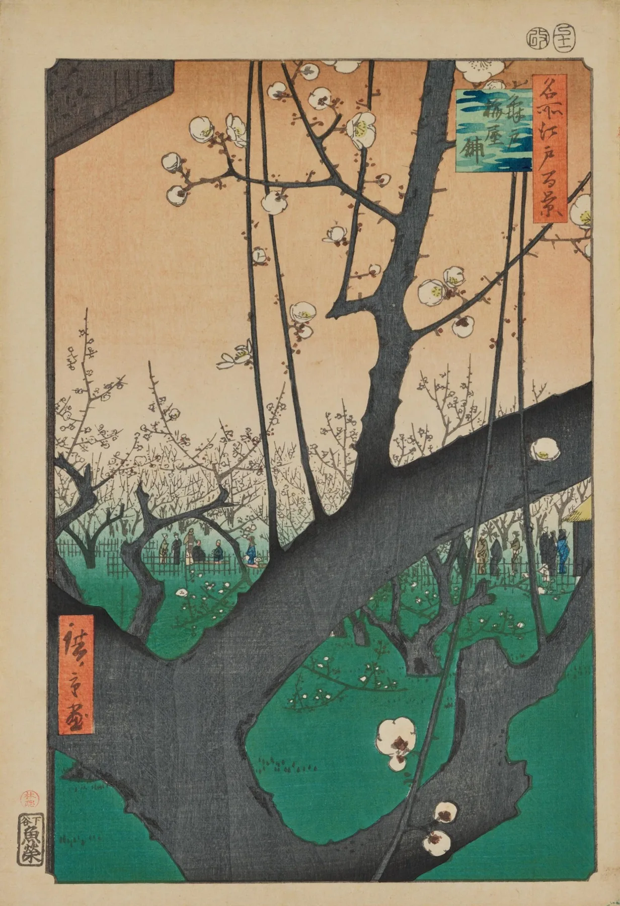
Woodblock-printed district map · Owariya Seishichi (publisher), 1850s
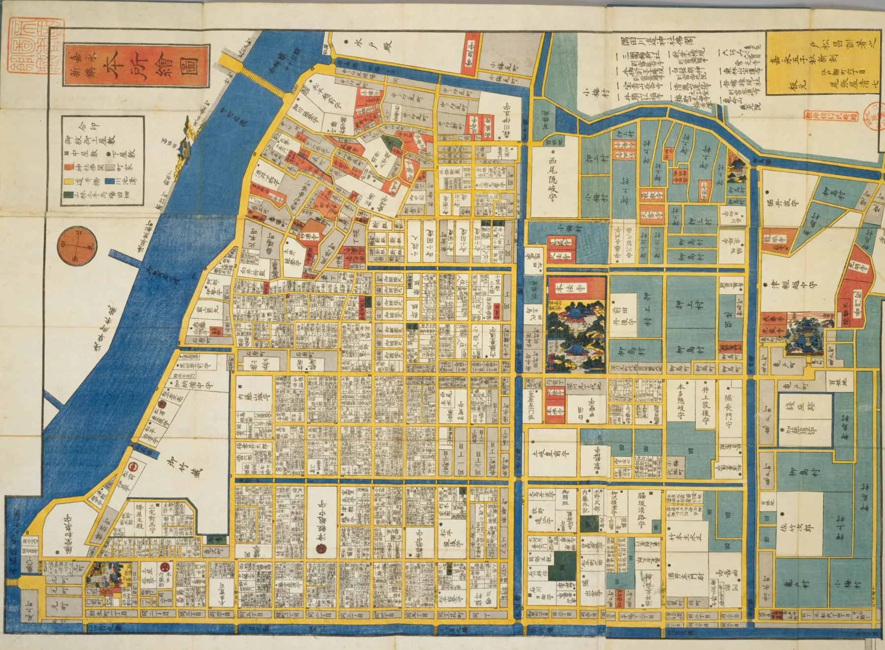
Edo District Map: Honjo
A city of a million, drawn street by street.
The Work
A kiriezu: a district guide map sold in late-Edo Tokyo. This sheet shows Honjo, east of the Sumida River.
Look Closer
Blue for water, yellow for roads — and every estate labeled with its owner's name.
The Maker
The publisher Owariya won fans with clear, color-coded maps like this one.
Who Used It
For samurai and travelers arriving from the provinces, it was both a guide and a souvenir.
Edo at the Time
By the 1700s, Edo is said to have reached about a million people — one of the world's largest cities.
Culture & Values
Honjo was home to Ekō-in temple, by then a center of sumo — and to the Kira mansion of the famous 47 rōnin story.
Meanwhile, in the World
Around the same time, London hosted the Great Exhibition of 1851 and passed two million people.
Afterward
Look closely and you'll find "Kameido" — home of the plum garden in the next print.
Listen while you look
This print stays on screen for about ten minutes in the full hour, with Morning Over Honjo and Ink Lines And Rivers.
Is there a print you'd like to see in a future window? Request a print